|
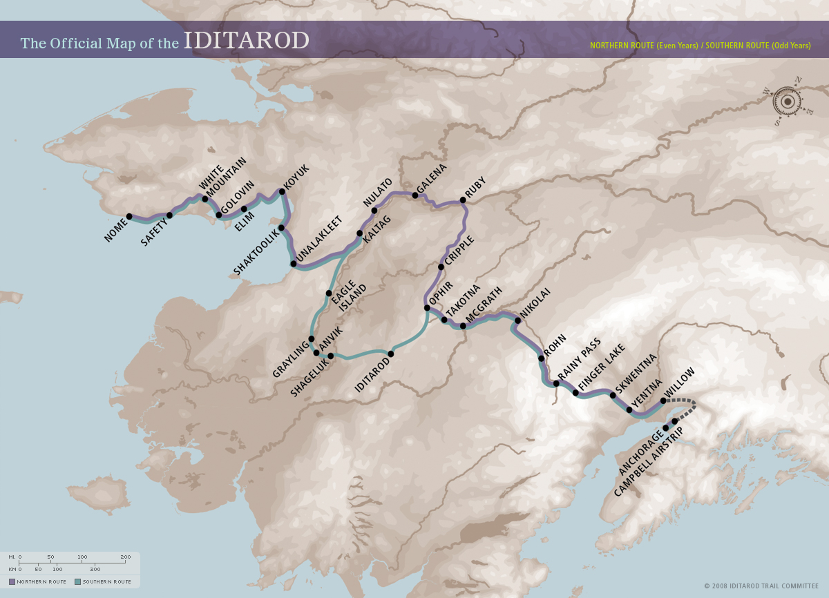
IDITAROD begins in March Southern Route "odd" years, Northern route "even" years--
IDITAROD Official Site
About the Iditarod
NOME VC WebCam
Iditarod Twitters
TWITTER IDITAROD SEARCH
IditaBlog @ TWITTER
Facebook Iditarod
Facebook Iditarod ADN
Iditarod Race Map - at official site large load
Iditarod Official SIte Site-Map
Iditarod Race Checkpoints (registered users)
YAHOO-Iditarod Lite & Mobile OneSearch
Google-XHTML-Lite Search Iditarod
Iditarod Trail Notes page [iditarod.com via Google xhtml for mobile]
Ultimate Iditarod with Trail Notes & Map
Ultimate Iditarod Trail Map
ADN - Iditarod (Anchorage Daily News)
ADN's Iditarod Race Route Map -flash req'd
Iditarod Official Site Photo Gallery
Cabela's Iditarod
MOBILE
http://feed2mobile.kaywa.com/202185340 Iditarod http://www.iditarodblogs.com/news/
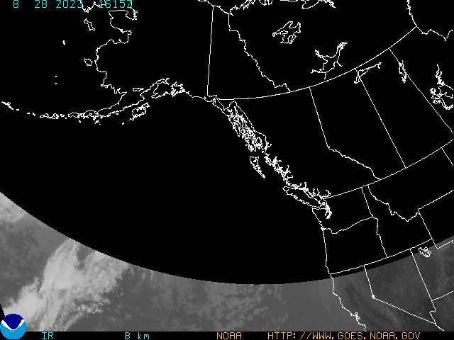
NWS-Alaska
NWS WX - Alaska Satellite image -IR
NWS Alaska Page Shaktoolik +
NWS Alaska Aviation-WeatherCams
NWS-Alaska Aviation WX
Interior Alaska zone forecast NWS
NWS Alaska Public Forecasts (texts bysectors)
Alaska - NOAA Current Snow Cover
'Local Wireless Wx & Radar with Wunderground' [Columbus Dispatch]
Local Wireless WX-Radar Alaska
Local Wireless WX-Radar Alaska [small image]
WX Radar NOME to East
LocalWireless-WX Radar Anchorage & N to West
WX-Alaska via Wunderground-lite
Wunderground Mobile for Alaska
Wunderground WX Radar Unalakleet, AK Wunderground Unalakleet Wx
MicroSoft TerraServer 'Topo Maps' of Iditarod Trail
[at scales of i inch to 1 mile the 'winter trail' will be a visible hatch line - it will vary from adjustments for the Iditarod Race Trail - but is the historic trail overland]
Nome Alaska
Port Safety
- en route to Nome from White Mountain ... these 'topo' maps depict barrier island coasta topography - hopefully frozen sea marsh & snow-ice covered shore trails in winter [see Cabela's Trail info for more]
White Mountain
Golovin
- Mushers cross upland from Elim -westerlry - to cross the peninsula etween Elim and the Golovin Lagoon Village - the frozen lagoon is then crossed in a WNWesterley bee-line to White Mountain
Elim
Koyuk at the Koyuk River Inlet
Shaktoolik
... a small barrier island like village - amidst a spit of frozen shoal and sea marsh - from which mushers start and progress northerly to the frozen Koyuk Inlet which must be crossed to reach Koyuk - depending on weather a shore 'tack' or a bold 'reach' fro the mushers. [See Cabela's trail pieces for the weather disorientation factors]
Unalakleet on the sea
2 km NE of Kaltag
Eagle Island camp - between Grayling & Kaltag
Eagle Island in Alaska -old camp is visible
expanded map Eagle Island - Yukon River Valley Alaska
1 mile south of Ophir
Iditarod Alaska Topo Map area around the old mining town
[see official site for info ]
sample map section for printing
Anchorage Daily News -ADN- remains one of the two best daily e-mail update for Iditarod ...
Cabela's
Other TV Highlights via Alaskan TV stations
Odd numbered years are a 'Southern Route' Race Year - South Ophir to the Iditarod & Yukon Valleys
Alaska Public Radio Network -- APRN Iditarod Coverage
Twitter-Iditarod with APRN
YAHOO Iditarod News via AP
Norwegian & English coverage at the Team Norway site
|
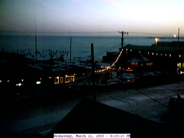 Nome on the Barents Sea as Nomers and WWW people may know it .. WebCam image save 3/12/03 about 1900 hours ..transloaded from the Nomenugget Nugget-Cam [WebTV-Tip: this was a jpeg ..the transloaded map above was a gif converted for site storage to a jpeg ... images are intellectual & graphic property of their sources Iditarod & Nome Nugget and may not be sold w/o permssion - personal use copy here]


